
Matthews ZIP Code Directory Coverage
Three Matthews-centered ZIP codes appear in the postal and state tax references: 28104, 28105, and 28106. They are useful address labels, not three neat slices of the incorporated town. A county parcel can sit within Matthews jurisdiction while its mailing label reaches beyond the town, and a Matthews postal address can also point into nearby county geography. Use the ZIP code directory as the first check, then use an address-level county source before drawing a jurisdiction conclusion.
| ZIP Code | Areas Covered | Post Office | Notes |
|---|---|---|---|
| 28104 | Matthews-addressed and adjacent southeast Mecklenburg and Union-area postal geography, including areas associated with Stallings or Indian Trail mailing labels. | Matthews postal processing and labeling; exact delivery station was not located. | Postal, municipal, and county lines differ. Verify each street address with USPS. |
| 28105 | Core Matthews postal city and a surrounding service area. | Matthews Post Office, 301 East John Street; Town material lists 704-847-9184. | The principal Matthews label. State reference material also associates 28105 with Union County, so it is not the incorporated town line. |
| 28106 | Matthews postal designation in USPS postal material; exact delivery or box geography was not exposed in the reviewed source. | Matthews label/container; exact station status was not located. | USPS 2023 material shows a 28106 and 28104 label-container relationship. Verify the individual address rather than assuming coverage. |
That incomplete station detail matters. The research did not verify that 28106 is a PO-box-only ZIP, a unique ZIP, or a full delivery area. It also did not establish full delivery coverage for any ZIP. A careful ZIP code directory keeps those gaps visible and sends an address through USPS, then through the county map if the town or county line matters.
Matthews 28105 ZIP Code Is Postal
28105 is the main Matthews postal label, yet the NCDOR ZIP-to-county reference also shows a Matthews/Union association. That is the local boundary trap. Postal systems organize mail delivery and labels; town limits determine municipal jurisdiction; county GIS records tie a situs address to a mapped parcel. They can overlap, but none substitutes for another.
Nearby ZIPs may appear in a Matthews-facing map or postal container as well. That does not make them ZIP codes inside the town. The same caution applies to subdivision names. The Town's 2025 neighborhood map can help a reader recognize names such as Brightmoor, Habersham, Fullwood Station, or Wyndmere, but it is a geographic inventory rather than evidence of a ZIP boundary or a resident list.
Confirm a Matthews ZIP Code With USPS
The USPS ZIP Lookup is the right starting point for one address. Its address mode asks for Street Address, City, and State, with an optional Company line. The city-and-state mode returns ZIP codes associated with that pairing, while Cities by ZIP reverses the question. Neither result confirms that a particular person or organization is at the address.
The manifest capture of USPS PostalPro lookup guidance shows the postal system behind that distinction.
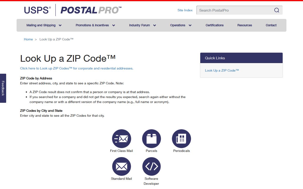
Use the USPS result to standardize the address, not to prove residence or define a Matthews city boundary. ZIP+4 details and delivery data are more specific than a five-digit code, but the research only identifies USPS AIS Viewer as a paid product, not a free public resident search.
| USPS mode | Required entry | What the result can answer |
|---|---|---|
| ZIP Code by Address | Street Address, City, State | The postal ZIP for the supplied address. |
| ZIP Codes by City and State | City, State | ZIPs associated with a postal city, not a town boundary. |
| Cities by ZIP | ZIP Code | Postal cities associated with that code. |
Matthews ZIP Code Search Limits
No reviewed public portal exposed a verified ZIP-wide people filter for Matthews. The county's POLARIS property search accepts an address, parcel number, owner, or landmark. The Mecklenburg GeoPortal searches one address or place, requiring at least four characters and an autocomplete selection. Both can answer a parcel question after the ZIP narrows an address, but neither was documented as a ZIP roster.
- Enter the complete street address in USPS and retain the resulting postal ZIP.
- Search the same address in POLARIS or GeoPortal to see the parcel, situs address, map context, and jurisdiction information.
- For an ownership question, use the current owner and legal description to search the Mecklenburg Register of Deeds rather than treating the ZIP as an ownership filter.
- For a known person, use the name-first NC Voter Search with Mecklenburg County selected and at least one status checked. Compare only public fields and protected-address limits.
The voter search requires first name, last name, and status. It filters by county, not ZIP. The researched public-file route may permit address sorting under current terms, but its file format, fee, and delivery schedule were not verified. Ask the State Board or Mecklenburg Board of Elections for current conditions instead of expecting a ready-made ZIP list. Once the address is fixed, the Matthews street directory has the fuller address-records chain.
Note: A postal ZIP can guide an address check, but it cannot create a verified ZIP-wide resident search where the public portals do not offer one.
Matthews ZIP Code and Parcel Fields
A county land record can contain several addresses with different purposes. The situs address is the physical parcel location. The mailing address is where tax notices go, and it may carry another city or ZIP. The legal description, often a subdivision lot and block or metes-and-bounds text, is the recorded way to identify land. A recorded deed and plat control title and boundaries, not a mail label.
POLARIS and GeoPortal make the county's address and parcel information easy to consult, but both are reference tools. The Mecklenburg Register of Deeds maintains the title evidence: its modern index begins in March 1990, and the historical site reaches 1763 through February 1990. For an address that has changed form or lies near a postal edge, use the legal description, parcel ID, and recorded plat to make the connection.
- ZIP code
- A postal routing label associated with an address or city, not a legal town boundary.
- ZIP+4
- An added four-digit delivery detail used within a five-digit ZIP code; it is not a list of residents.
- PO-box ZIP
- A ZIP associated with post-office boxes. The research did not verify that any Matthews code has this status.
- Carrier route
- A postal delivery grouping. It is not a municipal district or a public household roster.
Matthews ZIP Code Addressing Fallback
When USPS, a parcel record, and a ZIP label do not line up, Mecklenburg GIS Address Management is the county's E911 and road-centerline fallback. Its public description includes house number, street name, ZIP code, postal city, jurisdiction, fire district, special tax district, and road centerline information. The office lists 704-336-6175 for new-project or permitting address questions, and notes that a permanent address must be set before permitting.
That is a route for resolving an address, not a way to obtain names. County Code Enforcement's public-records service filters reports by permit type, date, contractor, and tax jurisdiction. The research found six years of online document research and export limits, but no verified ZIP filter. For older material, use a focused county public-record request or the responsible Town or County counter. North Carolina's Public Records Law requires agencies to provide existing records as promptly as possible, but it does not require them to create a new ZIP compilation.
The Matthews ZIP Code Filter Myth
A common assumption is that a ZIP code can be entered once to produce everyone connected to that area. The sources reviewed for Matthews do not support that claim. USPS verifies address routing. POLARIS and GeoPortal find property and map context from an address, parcel, owner, or place. The voter lookup starts with a name, and permit reports begin with non-ZIP fields. Each system answers a narrower question.
The Mecklenburg elections office provides district and voter-information resources, as reflected in the manifest capture below. Those tools are useful when a person is already known and the official search terms are met. They do not turn a postal area into a public list of Matthews residents.
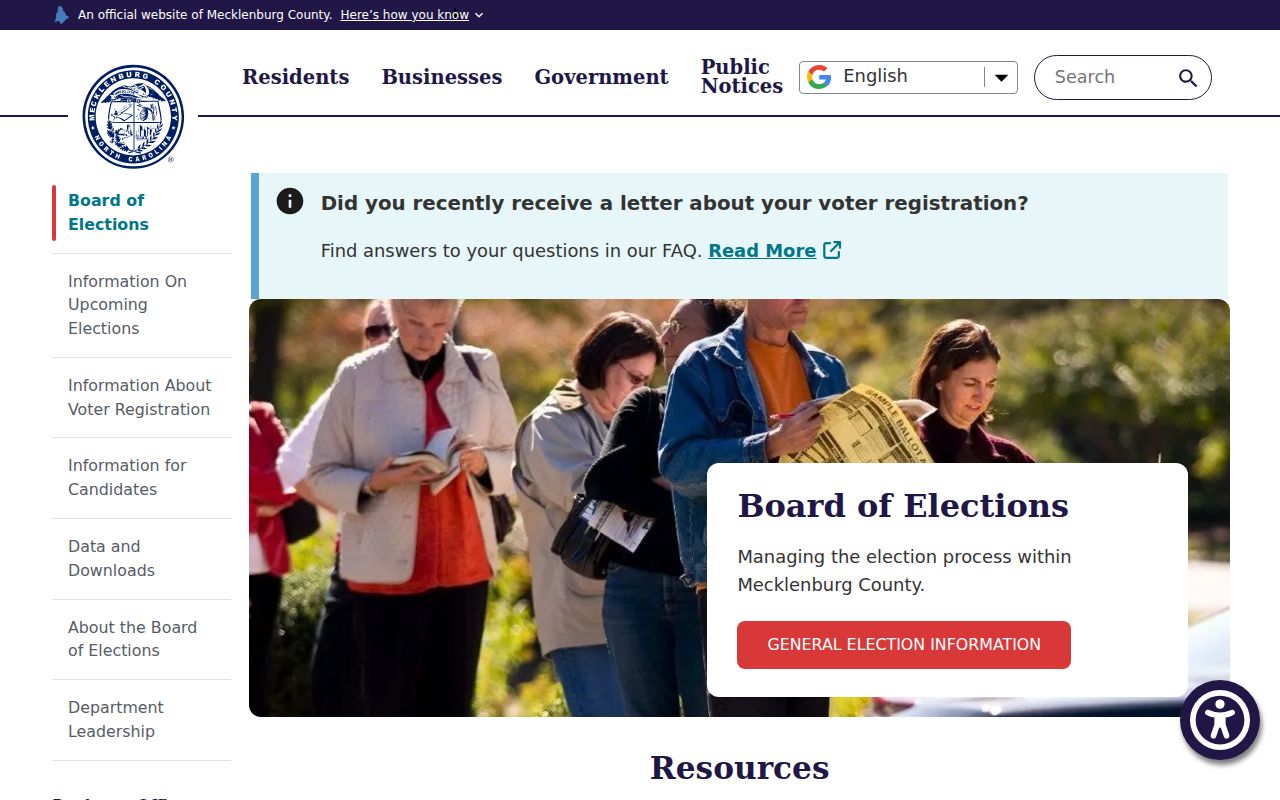
Election data also has limits: the state excludes Social Security numbers, dates of birth, driver-license information, protected agency identity, certain email information, and signatures. A protected voter address can be absent or substituted for safety reasons.
Matthews ZIP Code Boundaries and City Limits
Matthews lies in southeastern Mecklenburg County near Union County, so postal, parcel, and town records often meet at the same address without sharing the same boundary. The town's growth from older rail and farm landscapes into newer subdivisions adds another layer. A neighborhood name may cross an edge, and an address with a Matthews postal city may not establish that the land lies inside the incorporated town.
The Town's population profile offers useful context, not a ZIP population count. The Census QuickFacts page for Matthews is captured below and reports town-level figures. Those figures cannot be divided across 28104, 28105, and 28106 without a verified geographic method.
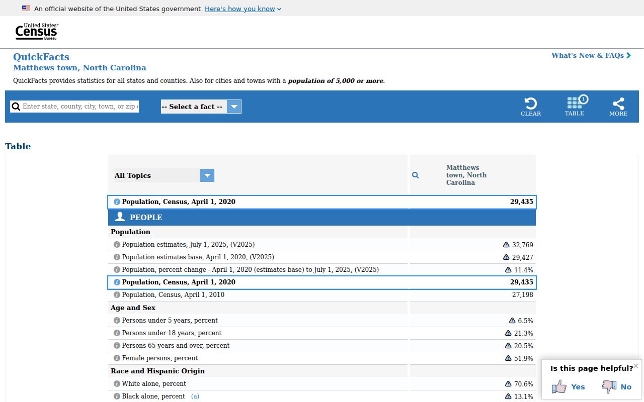
For a boundary-sensitive question, compare the USPS address result with GeoPortal's jurisdiction layers and the parcel's legal description. Label results as postal geography when that is all the evidence supports.