
Finding Matthews Street Records by Address
A strong street directory search follows the address record outward. POLARIS identifies a parcel and its public ownership fields. GeoPortal or POLARIS map tools can place it beside other parcels. The deed index supplies the recorded transfer chain. A name-first voter search can corroborate a known person's registration, and library directories can give historical occupants for the years they cover. The sequence produces evidence with different dates and purposes, not a list of every person on the street.
- Enter the address in POLARIS and save the parcel ID, owner, situs, mailing address, legal description, and map date.
- Use Search Polygon or Identify to browse map context without guessing at street numbers.
- Search the current owner as grantee in the Register of Deeds, then capture the recording date and legal reference.
- Move backward by searching each earlier grantor as a grantee, switching to the historical index at the modern cutover.
- Use a known name in Voter Search and ask the Carolina Room about dated reverse or criss-cross material for older address clues.
Note: Recorded ownership and a tax mailing address are useful trails, but neither one alone establishes who occupies a Matthews address.
Matthews Street Directory Search Fields
The county offers two complementary map paths. POLARIS has broad search and parcel-analysis controls. GeoPortal accepts an address or place search after at least four characters, then supplies a result list and data links. POLARIS also exposes map tools that help distinguish the parcel from its surroundings. Use the street name with the house number when possible, then rely on the legal description and recorded plat if an old address has changed.
| Matthews map field or tool | Type | Street-directory use |
|---|---|---|
| Address / parcel# / owner / landmark | POLARIS text search | Starts a known-address or owner search |
| Situs Address Search | POLARIS action | Targets the parcel location |
| Property Analysis | POLARIS action | Reviews parcel and ownership context |
| Search Polygon and Identify | Map tools | Browses a block and checks selected parcels |
| Search for an address or place | GeoPortal autocomplete | Requires four characters and selection from results |
| Overlays and Legend | Map controls | Shows zoning, flood, historic, and other context layers |
Mecklenburg Address Management explains the county role in street names, house numbers, postal fields, jurisdictions, and road centerlines.
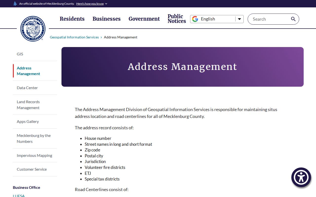
Addressing data makes an address searchable, but the deed and plat remain the legal sources for the property description.
Matthews Parcels Along a Street
County ownership records separate owner name, situs address, mailing address, and legal description. Situs means the physical parcel location. Mailing means the destination for tax notices, which may be a different city, a trustee, a business, or a management office. The legal description commonly uses a subdivision, lot, and block or metes-and-bounds language. It can survive when a street name or number does not.
- Parcel
- A mapped unit of property tied to a county identifier and legal record.
- Situs address
- The location address assigned to the parcel, distinct from tax correspondence.
- Plat
- A recorded map that can translate a current street address into a subdivision, lot, or block.
- Criss-cross directory
- An address-organized directory that can point from a street entry to dated household listings.
Mecklenburg Land Records Management describes the owner, situs, mailing, and legal-description fields behind the county maps.
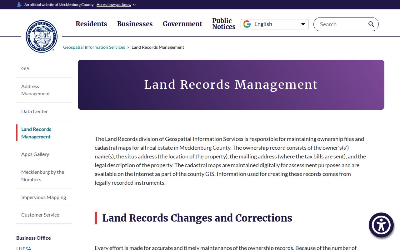
The mailing field is a correspondence clue only, so it should never be relabeled as a resident's location.
Matthews Records Searchable by Street
An address appears in records for different reasons. The property roll and tax bill attach an owner or taxpayer to a parcel. GIS adds boundaries and public map context. Recorded deeds establish transaction and legal-description history. Permits can date work at a site. Voter and directory records are people-oriented, but both have access and completeness limits. A parcel identifier, lot, or legal description is often the most durable connector between the systems.
| Address-keyed record | Matthews connection | What it can show | Access route |
|---|---|---|---|
| Assessment and property map | Mecklenburg GIS and Land Records | Owner, situs, mailing, parcel, legal description | POLARIS or GeoPortal |
| Recorded deed or plat | Register of Deeds | Grantor, grantee, date, legal reference, map | Modern/historical index and office |
| Tax bill | County Tax Collector | Value, taxpayer, mailing destination, tax event | County tax lookup |
| Permit or compliance file | County Code Enforcement | Project, contractor, application, occupancy or compliance date | Six-year online research; older request |
| Planning or zoning file | Town Planning and Development | Applicant, site plan, rezoning, subdivision context | Town pages and records request |
| Historical directory | Carolina Room and DigitalNC | Dated occupant or business clue | Library shelves and digitized volumes |
Matthews Deeds Along a Street
Follow a deed chain from the current owner rather than from a street name alone. Search the current owner as grantee, note the grantor, document or book-and-page reference, recording date, and legal description, then search that grantor as the prior grantee. Modern records begin in March 1990; the historical Mecklenburg index reaches back to 1763. At a subdivision boundary, a current house number may lead backward to a plat, lot, or acreage description instead of another house number.
The Register of Deeds real-estate-records service explains current and historical access paths.
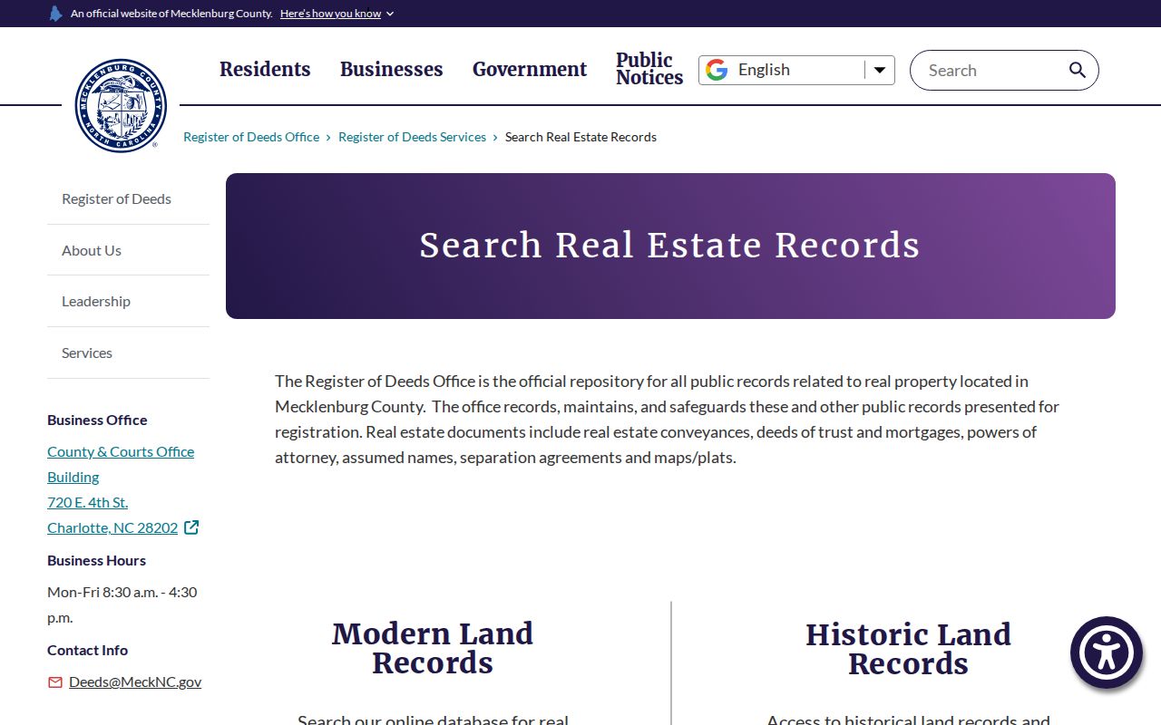
The county office is the fallback for a difficult index term, an unavailable online image, or an official copy.
Matthews Permit Records by Address
Permits can help date visible work or connect a project to an address. Mecklenburg Code Enforcement's issued-permit report uses permit type, issue-date range, contractor, and tax jurisdiction. It advises narrow date ranges and caps exports. Its public-record materials describe six years of online document research, including certificates and permit applications. Drawings use a separate request route, and older documents may require a focused county request.
A permit may list an applicant, contractor, owner, project, or status. It is site evidence, not proof of a present household. Matthews Planning adds zoning and development context, while Mecklenburg County handles the controlling building, zoning-permit, and inspection functions.
Mecklenburg Code Enforcement public-record information identifies document-research and request options.
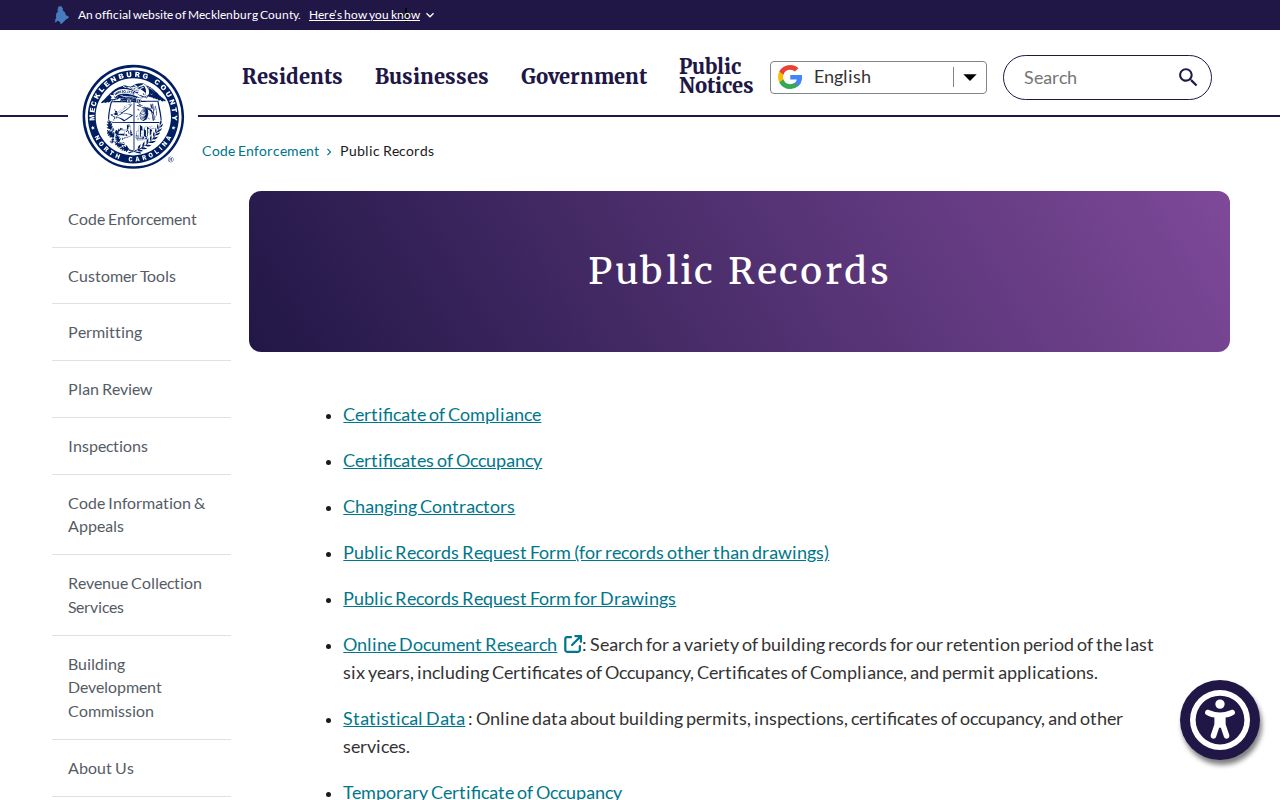
A limited time window online is a prompt to use the county request or counter route, not a reason to assume older records are gone.
Matthews Street Names Across Time
Historic address work needs more than the present street label. Matthews began as Stumptown, then Fullwood; mail used Matthews Station after the railroad arrived in 1874. Tank Town is associated with Crestdale. Those names, plus street suffix changes and township language, can defeat an exact search in a directory, newspaper, deed, or census schedule. The 1879 charter centered the town on the Carolina Central depot, which also explains why early legal descriptions may be framed around roads, rail geography, or acreage.
There is no verified townwide renumbering date to cite. A current street name should be compared with maps, plats, town minutes, GIS Address Management, and the legal description before concluding that an older record concerns another property. Matthews' current street-name review rules help avoid duplication and phonetic confusion in new development, but they do not establish the timing of every historical change.
Matthews Voter Clues by Street
The state Voter Search requires a known first and last name plus a status choice. It does not expose a verified street-browse list. A matching public record can confirm registration, jurisdictions, precinct, polling place, and participation history, subject to the state’s protected-field and protected-address rules. It should be used as one corroborating record after a name has been identified by a permitted source, not as a method to name every home on a street.
Residents using an Address Confidentiality Program card or qualifying safety documentation can have address protection. Full or partial Social Security numbers, dates of birth, driver-license data, signature copying, and other listed fields are not ordinary public results. The absence of a record does not prove that a person never lived at the address.
Matthews Address Clues in Directories
For an older street question, the Carolina Room can connect address-oriented directory material with alphabetic city directories, newspapers, maps, and yearbooks. The exact Matthews reverse-directory run was not verified in the research, so it should be requested as a shelf or catalog question rather than promised as a searchable online series. Search the former address, street suffix variations, Fullwood, Matthews Station, Tank Town, and Crestdale terms, then compare the entry date with a deed or census record.
The Charlotte Mecklenburg Library house-history toolkit connects directory, deed, plat-map, and permit research methods. It helps turn a street-directory lead into a dated historical trail without assuming that an old listing remains current.
Limits of a Matthews Street Directory
A street directory cannot supply a complete list of residents. Renters, household members, unregistered voters, protected voter addresses, utilities, delivery accounts, DMV data, and private association rosters are not made into a public street index by property maps. An ownership name can belong to a trust, a business, or a person who lives elsewhere. A homestead or exemption indicator is a tax clue, not conclusive evidence of who lives in a home.
North Carolina restricts motor-vehicle personal information under the Driver's Privacy Protection Act, and voter protections apply to qualifying safety circumstances. Use public address records for lawful personal research, family history, property curiosity, or civic understanding. Do not use them to stalk, threaten, harass, or expose protected information. Repeated surveillance or harassment can violate North Carolina stalking and cyberstalking laws.
Matthews Street Records Beyond Maps
When an address cannot be matched online, retain the details already found and change the access channel. The Register of Deeds can inspect public real-estate records and accepts requests that identify a grantor, grantee, recording range, book or page, instrument, or legal description. A lot and subdivision name may be more useful than a current street number for an older parcel. The office's Uniform Fee Schedule controls instrument and certification charges, so a request should ask the office for the current cost rather than rely on a copied amount.
County Code Enforcement has a separate request route for drawings and older public material beyond the stated online document window. Town Planning files can add a development, rezoning, or site-plan context, while the Town Clerk is the custodian for existing town-created records. The Carolina Room is the historical fallback for address directories, newspapers, yearbooks, and maps. Those routes prevent a street directory from stopping at the first map result.
Keep the source and date beside every result. A county map can change after a recording, a permit can precede a sale, and an old directory entry can predate a renamed street. The researched chain is strongest when an address, parcel, legal description, and recorded instrument point to the same place across time. That comparison also makes it easier to identify which question still requires a custodian, library, or archive visit later.